Lent week 5 updates
Hey y’all! If I’ve been a bit quiet lately, it’s because this term is officially in high gear. The window between February 9th and 22nd was packed with everything from R-Studio troubleshooting to lecture prep. Grab a coffee, here’s a recap of what I’ve been up to in the last 2 weeks.
- HAAD Project
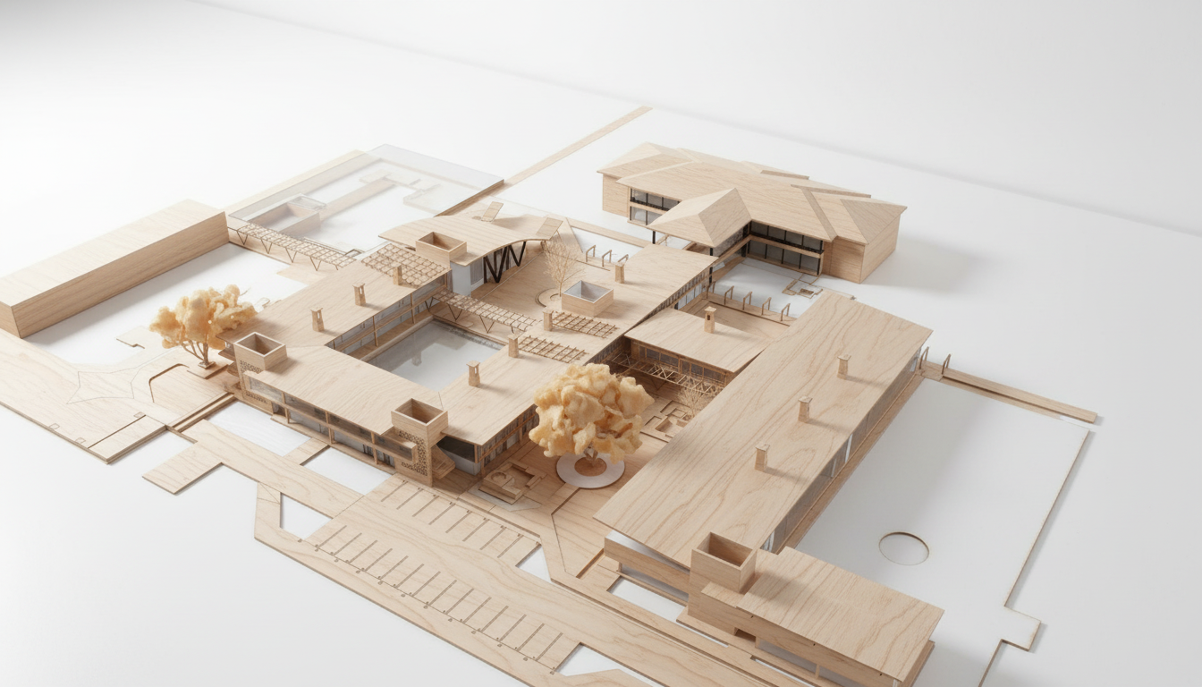
News time! Happy to officially mention that I was among the 10 finalists of a design competition titled “Heat Adaptive Architecture Design (HAAD),” which was held sometime between July and November last year(2025). The competition aimed to encourage adaptive thinking among architecture students for today’s climate challenges. The task was to envision an innovative building design that can adapt to extreme future weather events, particularly extreme heat and heatwaves.
The whole of last week, I was working on the second stage of the design, where I refined my ideas with guidance from a mentor. My mentor suggested that I critically assess the materiality of the project. Unfortunately, I had to take a few steps back to remodel the entire project in a way that would make it 3D-printable, which consumed quite a bit of time. Thankfully, I was able to complete it. Below is an Maquette of the project. I will put up a poster about it very soon.
- Conference Paper
I started writing my conference paper titled “Rethinking Urban Morphology for Climate Action.” The research focuses on the double jeopardy posed by rapid urbanisation and climate change. Over the past two weeks, I have created a heatwave prediction map for Kenya and used WorldPop data to map Nairobi’s urbanisation over the last two decades. I also modified code to compute NDVI, LST, VHI, and UTFVI, although this is still a work in progress.
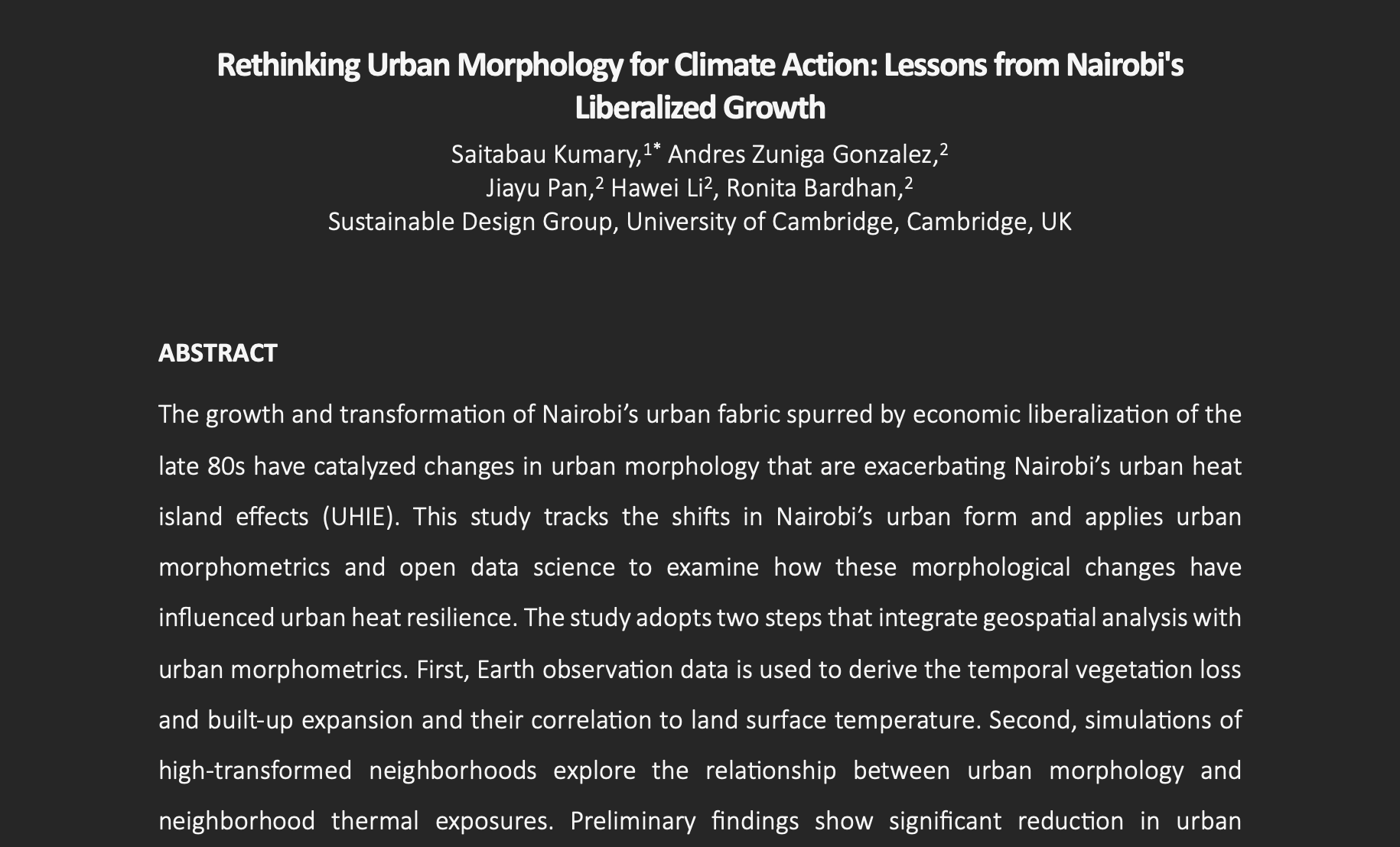
I have begun drafting the manuscript by outlining the introduction, methodology,literature review and mainly focusing on organizing my thoughts on paper. For the next three weeks, I will dedicate my full attention to this project. I am also excited to return to working on CFD simulations.
- Advanced Geospatial Analysis
In the evenings, I have been taking geospatial classes where we explored R-Studio to analyse and visualise geospatial data. I have gained valuable insights into applying different R packages such as tmap, Leaflet, and tools for data manipulation. I am yet to sit down and thoroughly review my notes and projects. Once I do, I plan to write a separate blog post about the experience. Many thanks to Dr. Nanki Sidhu for organising the training materials and guiding us through the course.
- My First Lecture
This Lent term, I will be giving a lecture to second-year architecture students on the application of environmental tools in research. I have spent some time preparing for this, as the lecture is scheduled for early March, and I need to have the materials ready for sharing.
In the lecture, I will present part of my PhD work, demonstrating how platforms such as Google Earth Engine (GEE) can be used for geospatial and remote sensing analysis, alongside computational simulation tools such as the Ladybug and Honeybee plugins for Grasshopper. These tools can help assess building performance and resilience under current and projected climate conditions.
I am excited and looking forward to the lecture.
5.ASCU Posters
When I am not working on my PhD, I serve as the Communications Officer for African Society of Cambridge University. I mainly design posters for the society’s upcoming events. Below are some of the posters I have designed.